Summary
- The Bryson Fire started shortly before 5 p.m. Thursday near Mulholland Highway and Encinal Canyon Road in the hills above Malibu.
- Cal Fire's incident listing showed 101.5 acres and 0% containment at 6:36 p.m. PDT.
- An evacuation order covers zone KAN-U017, with warnings for 10 more zones in the Malibu area.
- No injuries or destroyed structures had been reported. The cause is under investigation.
What happened
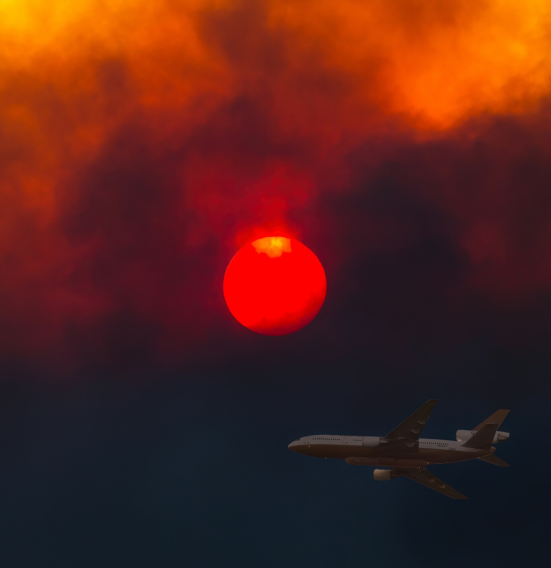
A brush fire in the Santa Monica Mountains above Malibu grew past 100 acres on Thursday evening, Oct. 15, triggering evacuation orders and warnings as Santa Ana winds blew across Southern California. Cal Fire's statewide incident listing showed the Bryson Fire at 101.5 acres and 0% contained as of 6:36 p.m. PDT. [1]
The fire was reported at about 4:45 p.m. near Mulholland Highway and Encinal Canyon Road, according to the Los Angeles County Fire Department as cited by NBC Los Angeles. Cal Fire's listing gives a start time of 5 p.m. CBS Los Angeles reported the fire was in the Encinal Canyon area near the Camp Kilpatrick juvenile facility. [5] [1] [3]
Cal Fire's updates show quick growth: 35 acres with active spotting at 5:42 p.m., 40 acres at 5:57 p.m. and 80 acres at 6:06 p.m. The Los Angeles County Sheriff's Department said on X that its helicopter coordinator saw the fire had "the potential to reach approximately 200 acres" within an hour, TheWrap reported. [1] [4]
Evacuations
An evacuation order is in effect for zone KAN-U017, according to Cal Fire's incident page. Evacuation warnings cover zones CRN-U019, LBO-U018, LEO-U015, MAL-C113, MAL-C114, MCR-U021, MLK-U020, SYC-U016, VST-U046 and WLV-C201. LAist reported the order applies to residents near Kanan Dume Road and Encinal Canyon Road. [1] [2]
CBS Los Angeles said the warnings and orders reach across a wide area toward Leo Carrillo State Park, Pepperdine University and the coast. Residents can check their zone on the Los Angeles County emergency evacuation map. [3] [2]
Response and conditions
The Los Angeles County Fire Department is the lead agency, and Cal Fire lists the blaze as not a Cal Fire incident. LAist reported no destroyed structures, injuries or deaths as of Thursday evening. The cause is under investigation, according to Cal Fire. [1] [2]
The National Weather Service has a red flag warning in place for much of Southern California. For most valleys and coasts of Los Angeles and Ventura counties it runs until 8 p.m. Saturday, NBC Los Angeles reported. Southern California Edison began a public safety power shutoff affecting nearly 58,900 residents, according to CBS Los Angeles. [5] [3]
Context
The Bryson Fire is one of several Southern California fires that started Thursday afternoon. It is separate from the Henderson Fire, which burned more than 1,100 acres on Camp Pendleton in San Diego County. The Malibu hills have a long fire history, and the area burned in the 2018 Woolsey Fire. Containment and any change to evacuation zones will be posted by L.A. County Fire, the Sheriff's Department and Cal Fire's incident page. [1] [2] [3]
Reporting sources
- Cal Fire · Bryson Fire incident ↗2026-10-15
- LAist · Bryson Fire prompts evacuation warnings in Malibu ↗2026-10-15
- CBS Los Angeles · Evacuation warnings issued as Bryson Fire burns in Malibu hills ↗2026-10-15
- TheWrap · Malibu Brush Fire Sparks Evacuation Orders as Blaze Grows to 80 Acres ↗2026-10-15
- NBC Los Angeles · Brush fire burns in Malibu as red flag warning remains in effect ↗2026-10-16
This article follows our editorial standards. To report an error, see our corrections policy.